Welcome to the St. Margaret’s Bay Area Rails to Trails
Just 30 minutes from downtown Halifax Nova Scotia, the St. Margaret’s Bay Area trail is a community run trail built on the original railway line that served the Bay area.
Connecting with the BLT Trail in Hubley and the Aspotogan Trail in Hubbards the St. Margaret’s Bay Area trail is a 33km multi-use recreational trail with some of the most stunning elevated panoramic views of the St. Margaret’s Bay. Interpretive panels along the trail give information about the area’s history, ecology, attractions and points of interest. With multiple entrances and exit points, in whole or in part the trail is perfect for everyone.
-
St. Margaret’s Bay Area Rails to Trails – Trail Facts
Length: 33 km
Trail end points: Around civic #4268 St. Margaret’s Bay Road to Hubley.
Connected Communities: Hubley, Lewis Lake, Upper Tantallon, Head of St. Margaret’s Bay, Boutlier’s Point, Ingramport, Black Point, Queensland, Hubbards. Trail surface: Crushed Stone
Trail category: Rail-Trail, Multi-Use
Trail activities: Walking, Hiking, Running, Wheelchair Accessible, Cycling, Horse-Back Riding, 4 Wheeling, Cross Country Skiing, Snowshoeing Resources:
Interactive Map
Download GPX
Print Friendly Map

Join us
Help us continue to provide an amazing trail for our community and keep updated on all news and events
Become a Trail MemberSMBARTA News & Events

Trail Re-opened
Trail News Trail Notices & AlertsFrom the Provincial government: The risk of wildfires has lowered enough in some counties for restrictions on travel and activities in the woods to be lifted today, August 29. The burn ban remains in place for the entire province until October 15 or until conditions improve further. See full release here
Continue Reading
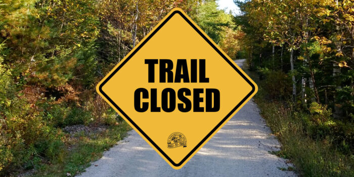
TRAIL CLOSED to all users
Trail News Trail Notices & AlertsWe are closed to ALL USERS as of 4 pm today (august 5) until further notice. The Province is restricting travel and activities in the woods because continued hot, dry conditions have greatly increased the risk of wildfires. These and other measures are in place on provincial Crown and private land until October 15 or…
Continue ReadingQueensland work update
Trail NewsTrail maintenance is being done in the Boutiler’s Point area past the Indian River bridge to Station Road in . Expect delays and please use caution in that area.
Continue ReadingTrail Map
St. Margaret's Bay Rails to Trail
- Distance Instructions
- Travel mode
- walking
- bicycling
- driving
- straight-line
- Distance 32 km
- Time 7 h 57 min
- Speed 4.0 km/h
- Min altitude 5 m
- Peak 86 m
- Climb 340 m
- Descent 401 m


